A laser survey once told researchers that a tree in Taiwan was 90 meters tall. When they turned the data sideways, the supposed giant shrank to less than 25 meters. Most of the remaining “height” was a cliff.
That error captures the difficulty of hunting exceptional trees from the air. Laser scanning can cover forests too large and rugged to search on foot, but it does not automatically know where a trunk begins. In steep country, the difference between the canopy and the wrong patch of ground can manufacture a record that does not exist.
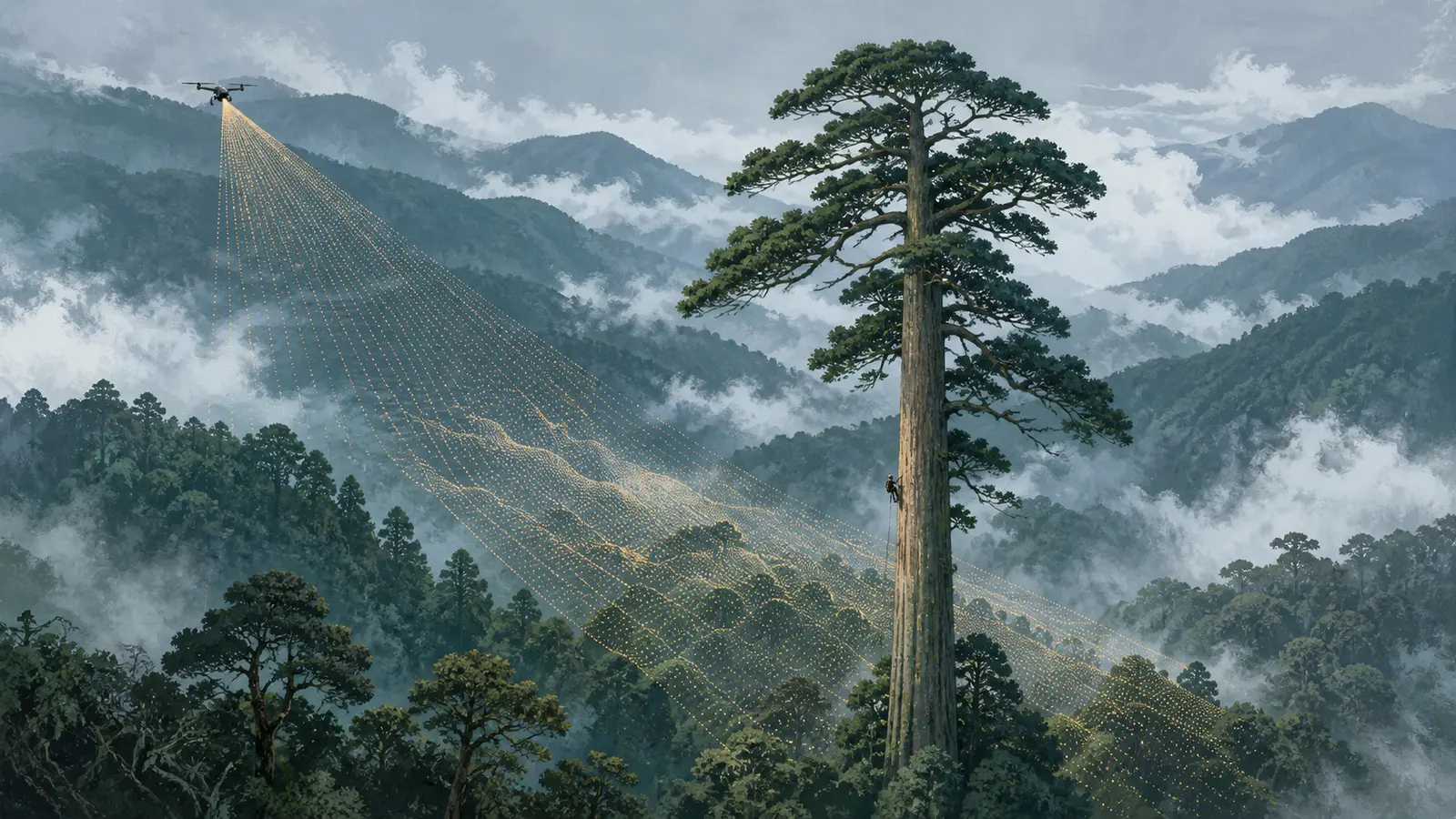
A team from the Taiwan Forestry Research Institute and National Cheng Kung University built a search around that weakness. Their combination of airborne LiDAR, algorithmically chosen profiles, hundreds of volunteers, expert review and climbing eventually led to a direct measurement of an 84.1-meter Taiwania cryptomerioides. The researchers call it the tallest known tree in East Asia.
The record is memorable. The chain of evidence behind it is more useful.
Why a canopy map can lie
Airborne laser scanning, often called airborne LiDAR, sends pulses toward the landscape and records their returns. Some bounce from leaves and branches; others reach the forest floor. Those points can be assembled into a three-dimensional representation of both canopy and terrain.
A canopy-height model subtracts an estimated ground surface from the upper surface. On comparatively even terrain, that difference is a useful estimate of tree height. On a cliff or a very steep slope, however, the highest canopy return can be paired with ground that is much lower and not directly beneath the same tree. A 25-meter tree can appear to be 90 meters tall.
The problem runs in the other direction too. A laser pulse may miss a narrow treetop, causing an underestimate, or too few pulses may penetrate a dense canopy to define the ground correctly. LiDAR is therefore an excellent search instrument, not a self-validating tape measure.
The Taiwanese survey used airborne data collected by several contractors between 2010 and 2016. The required sampling density was at least two pulses per square meter below 800 meters in elevation and 1.5 pulses per square meter above it. Researchers generated a national canopy-height model, then applied a local-maximum filter to flag apparent trees over 65 meters.
That first pass was deliberately generous. Its job was not to declare winners but to avoid overlooking plausible ones.
Turning 57,065 candidates into something humans could judge
The initial method still created more work than a small expert team could reasonably handle. Between 2019 and 2020, specialists manually examined 14,692 candidates, and positioning each three-dimensional point cloud at a useful viewing angle could take about 20 minutes.
The team then automated that preparatory step. An algorithm selected a viewing angle that minimized the scatter of ground points and generated a side-on profile for each candidate. In a good profile, a reviewer can see a coherent ground slope, locate the base of the tree and compare it with the top. In a bad one, the ground remains an ambiguous spray of points.
In 2022, 372 online volunteers assessed 57,065 of these prepared profiles. Each image went to three people, who clicked the apparent base and top. A candidate advanced only when at least two reviewers accepted it and the resulting height exceeded 65 meters.
That process left 4,736 candidates for expert review in the full point cloud, removing 92% of the manual verification workload. Experts accepted 531 trees from this phase. Added to the 410 found in earlier regional surveys, they formed an island-wide map of 941 trees above the project’s 65-meter threshold.
The division of labor matters. Software searched consistently, volunteers handled a repetitive visual judgment, and specialists reserved their time for the smaller set of difficult cases. Crowdsourcing did not replace expert measurement; it made expert attention tractable.
The last meters had to be measured from the tree
Remote screening can rank likely giants, but a record requires a stronger measurement. Since 2014, the project has climbed and measured 22 trees over 40 meters. For most, a climber reached the crown and dropped a tape to establish the vertical distance. Two were measured with a combination of a pole at the apex and drone photogrammetry.
Across those 22 trees, LiDAR-derived heights were strongly correlated with field measurements, but the root-mean-square error was still 4.55 meters. That is useful accuracy for finding candidates and far too much uncertainty for separating close contenders.
The tree that emerged on top grows in the Sheshan range. Nicknamed the “Heaven Sword,” it is a Taiwania cryptomerioides, a very large conifer whose remaining natural populations are separated across Taiwan and parts of mainland Southeast and East Asia. The airborne model put it at roughly 80 meters. A direct measurement in 2023 established 84.1 meters.
That discrepancy is not an embarrassment for the method. It is the reason the method has stages. The scan made the remote tree findable; the climb made the record defensible.
A record that becomes a monitoring baseline
The map reveals more than a leaderboard. Its 941 entries cluster rather than spreading evenly across the island. Their average mapped elevation was 2,087 meters and their mean slope was 40 degrees. Hot spots appeared in the Sheshan range, the Danda region and eastern Yushan National Park, often in the upper reaches of major watersheds.
Those locations help explain both survival and risk. Rugged terrain spared some old-growth stands from the industrial logging that greatly reduced Taiwan’s primary forests during the 20th century. Moist montane cloud-forest conditions may also favor extraordinary height. Yet the same steep slopes and river valleys leave large trees exposed to landslides, floods and typhoons.
Very large, old trees are ecologically disproportionate structures. They store substantial amounts of carbon, create habitat that smaller trees cannot quickly replace and shape the microclimate around them. They are also hard to substitute: losing one ancient giant cannot be offset on a meaningful human timescale simply by planting one seedling.
A georeferenced baseline makes repeated observation possible. Later scans can show whether a crown has broken, a slope has failed or a cluster has declined. The same vetted examples can also train better automated classifiers. A future system may learn to reject cliff artifacts itself because hundreds of people first marked what a plausible tree profile looks like.
That is the broader result of the search. “Heaven Sword” is one exceptional organism, measured by people willing to climb it. The 941-tree map is an infrastructure for finding and watching an entire class of organisms that ordinary surveys systematically miss.